Generate Map
Use satellite imagery to map land use and land cover
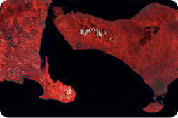
Specify area, period, and LULC classes
Generate Map
Specify area, period, and LULC classes
Identify Change
Generate LULC Map
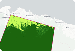
Target specific classes for landscape intervention in your area
Share Map
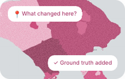
LULC map public consultation
Generate Map
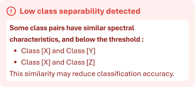
Scientific methods to demonstrate and improve map quality
The Platform
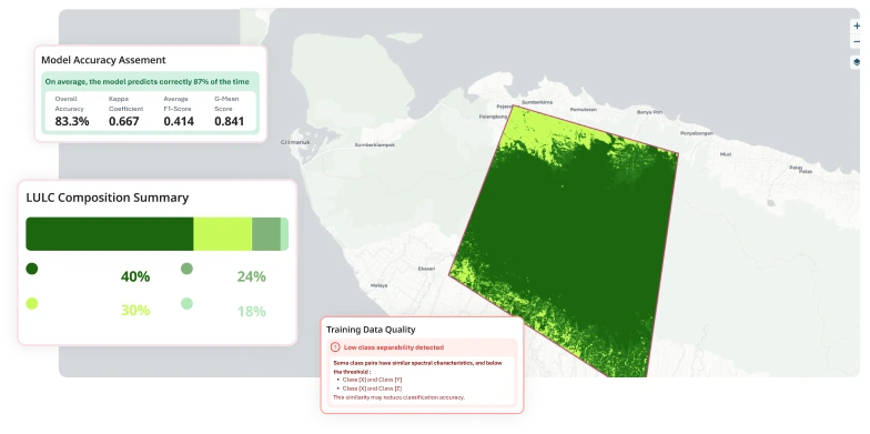
Luma simplifies land use and land cover mapping into a guided workflow. From specifying your area of interest and modifying readily available satellite imagery, to creating a classification scheme, preparing input data, setting mapping parameters, and assessing map quality, Luma supports the entire process from start to finish.
Capabilities
Intuitive no-coding interface for creating, analysing, and collectively acting on customizable land use and land cover map data.